Vlog | Modern roads in Xinjiang: Tarim Desert Highway
Source: Xinhua
Editor: huaxia
2025-09-26 21:13:06
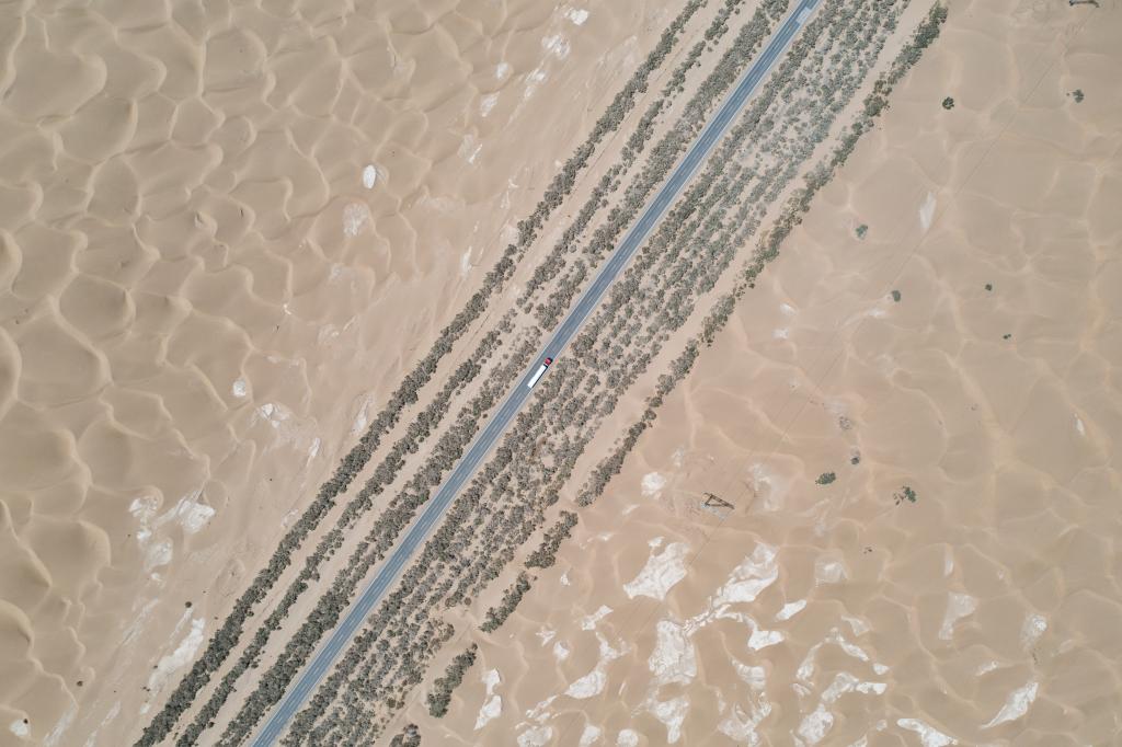
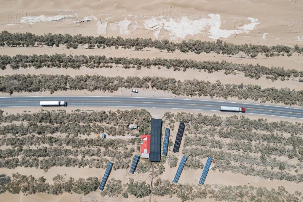
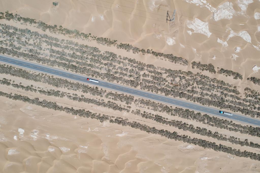
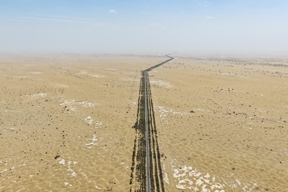
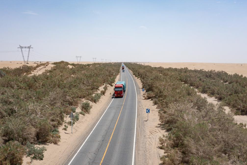
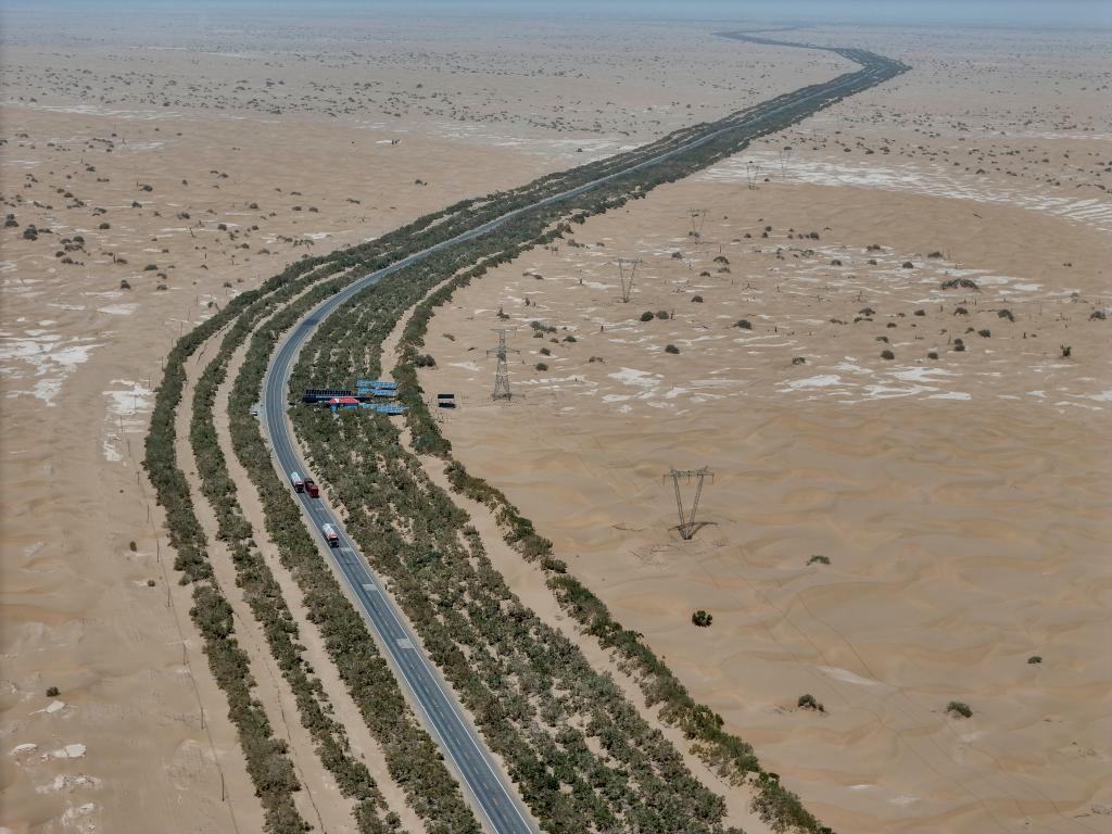
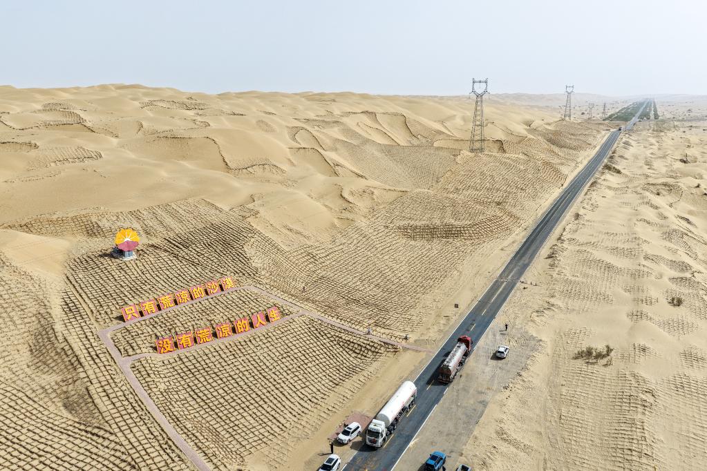
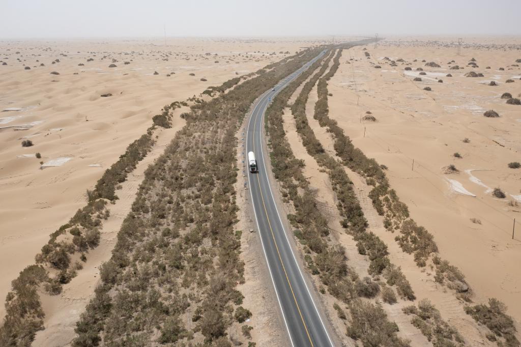
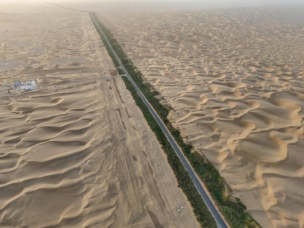
URUMQI, Sept. 26 (Xinhua) -- Stretching across the vast Taklimakan Desert, China's largest drifting desert, also known as the "Sea of Death," lies an engineering and ecological marvel, the Tarim Desert Highway.
Opened in 1995, this 522-kilometer highway defies drifting sands and extreme weather. But how does it withstand such an environment? Follow Xinhua correspondent Smiley to unlock a story of resilience along the highway, where humans and nature find balance.
An aerial drone photo taken on July 18, 2025 shows a section of the Tarim Desert Highway and the shelterbelt planted along it in northwest China's Xinjiang Uygur Autonomous Region. (Xinhua/Meng Tao)An aerial drone photo taken on July 18, 2025 shows a section of the Tarim Desert Highway and the shelterbelt planted along it in northwest China's Xinjiang Uygur Autonomous Region. (Xinhua/Meng Tao)An aerial drone photo taken on July 18, 2025 shows a section of the Tarim Desert Highway and the shelterbelts planted along it in northwest China's Xinjiang Uygur Autonomous Region. (Xinhua/Meng Tao)An aerial drone photo taken on July 18, 2025 shows the Tarim Desert Highway traversing through the Taklimakan Desert and the shelterbelt planted along it in northwest China's Xinjiang Uygur Autonomous Region. (Xinhua/Zhang Keren)An aerial drone photo taken on July 18, 2025 shows a section of the Tarim Desert Highway and the shelterbelt planted along it in northwest China's Xinjiang Uygur Autonomous Region. (Xinhua/Meng Tao)An aerial drone photo taken on July 18, 2025 shows the Tarim Desert Highway traversing through the Taklimakan Desert and the shelterbelt planted along it in northwest China's Xinjiang Uygur Autonomous Region. (Xinhua/Zhang Keren)An aerial drone photo taken on July 18, 2025 shows the Tarim Desert Highway traversing through the Taklimakan Desert and the shelterbelt planted along it in northwest China's Xinjiang Uygur Autonomous Region. (Xinhua/Hu Huhu)An aerial drone photo taken on July 18, 2025 shows the Tarim Desert Highway traversing through the Taklimakan Desert in northwest China's Xinjiang Uygur Autonomous Region. (Xinhua/Zhang Keren)An aerial drone photo taken on July 19, 2025 shows a section of the Tarim Desert Highway and the shelterbelt planted along it in northwest China's Xinjiang Uygur Autonomous Region. (Xinhua/Meng Tao)An aerial drone photo taken on July 18, 2025 shows the Tarim Desert Highway traversing through the Taklimakan Desert and the shelterbelt planted along it in northwest China's Xinjiang Uygur Autonomous Region. (Xinhua/Hu Huhu)


Comments